

Ogley Basin
Ogley Basin
Ogley Basin provided a transshipment point at the summit level of the canal network and was used to load sand brought by a horse drawn plate way up the hill from nearby sandpits.
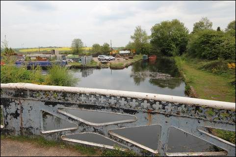
Photo: Ogley Basin. Straight ahead, the start of the canal awaiting restoration.
| Access: | |
| Alignment: | On canal line |
| Huddlesford: | 7.30 Miles (12.00 Kms.) |
| Catshill: | 1.40 Miles (2.20 Kms.) |
52.65172, -1.91574
