

Google Earth view from 2016. Below: O.S. Map from 1883
Smiths Bridge
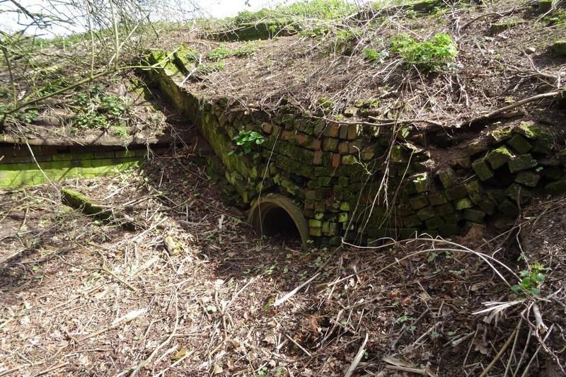
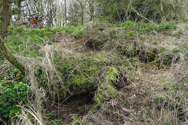
Site of old bridge known as Smith's Bridge or Shaw's Bridge.
This is private property. The canal will take a new route alongside the railway here to avoid severing existing farmland.

O.S. Map from 1883.

Photos taken by Paul Jewitt in March 2020
| Access: | Private property - no access |
| Alignment: | |
| Huddlesford: | - |
| Catshill: | - |
52.66519, -1.86455
